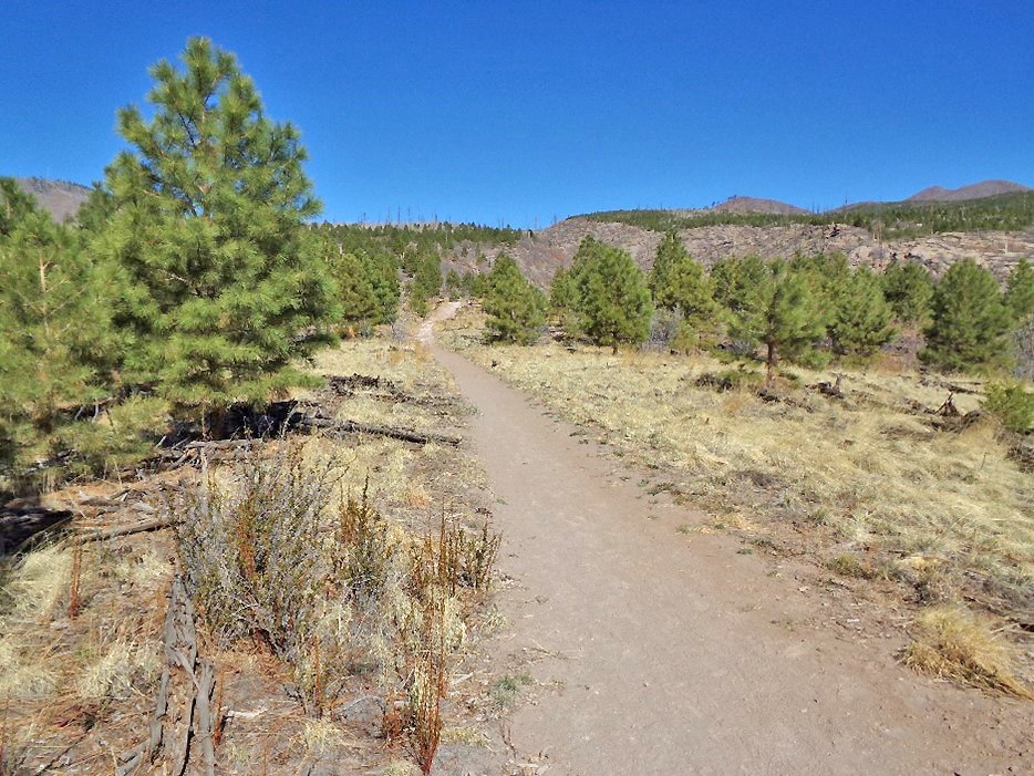
 The Quemazon mesa top provides a setting for a smooth, easy trail. Photo by Robert Dryja
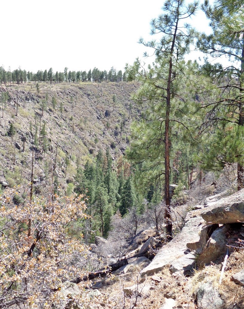 The Los Alamos Canyon forms the south side of the mesa top. Photo by Robert Dryja
By ROBERT DRYJA
Los Alamos
The western side of Los Alamos is part of a broad slope that extends upwards to the mountain rim of the Valles Caldera. This slope is divided by canyons that are the result of water erosion. This slope was covered by forest before homesteaders and other settlers arrived. Ponderosa and other forms of spruce or pine were the dominant trees.
Forest fires were a major influence on how these trees grew. These fires were the result of lightning strikes. A field study shows that 125 fires occurred from 1672 to 1893 at seven locations in the Quemazon section of the slope. These fires varied from approximately one fire every 4 years to one every 16, depending on the location. The overall average was approximately one fire every 7 years.
This meant that a large portion of low growing trees and shrubs were burnt before they were large and numerous enough to support high intensity fires that could burn to the top of tall mature trees. Forest fires were more common but of low intensity, more toward ground level.
This situation began to change in 1900 as a result of increased settlement and agricultural use of the land. Complete control of forest fires became common. Fires became less frequent but were more of the high intensity kind when they did occur. The Quemazon and adjacent area has had a total of five fires from 1900 to 2011.
This is an average of one fire every 22 years. (Coincidentally, the Cerro Pelado Forest Fire is occurring nearby while this article is being prepared, 22 years after the Cerro Grande Fire.)
The Quemazon mesa area provides a good setting for observing the overall impact of the Cerro Grande Forest fire. The geography of the Quemazon mesa includes three features. These are shown in Picture 1 above. First, the mesa top is a broad level slope. Its elevation changes by 400 feet over a distance of half a mile. It faces eastward and therefore can receive sunlight throughout the day. Second, two canyons are on the north and south sides of the slope. They also face eastward.
The Los Alamos Canyon is up to 200 feet deep while the upper Pueblo Canyon is up to100 feet deep. Third, there are two broad depressions that face north/south across the otherwise level slope. These depressions provide some sheltering from direct sunlight. The movement of Cerro Grande Forest fire varied with the kind of geography it was crossing.
The Quemazon mesa provides a good setting for seeing variations in the ways that plants are regrowing as a result of this geography and forest fire. Ponderosa trees favor growth in sunlight. The eastward facing slope and canyons therefore provide a good setting for them. However, they also provided a good setting for the movement of the Cerro Grande fire. The high intensity fire destroyed much of the plant life. Burnt areas still are clearly visible nearly a quarter of a century later. Picture 2 above shows a pattern of burnt and unburnt areas. However, there are some areas in which plant life has grown well.
These variations will be explored in future columns.
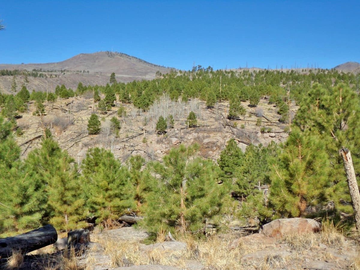 A broad depression crosses the western side of the Quemazon mesa top. Photo by Robert Dryja
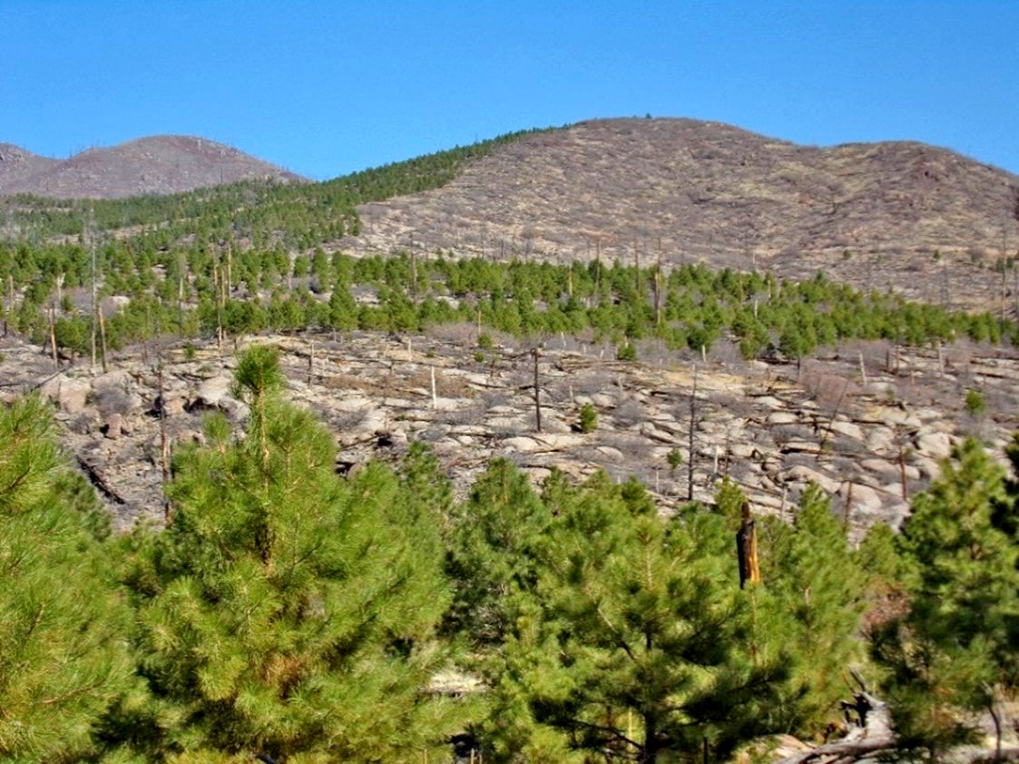 Green ponderosa pine is regrowing in a burnt section that is more level. The grey-colored slopes have aspen trees growing on them. Their leaves have not yet emerged with winter just ending. Photo by Robert Dryja