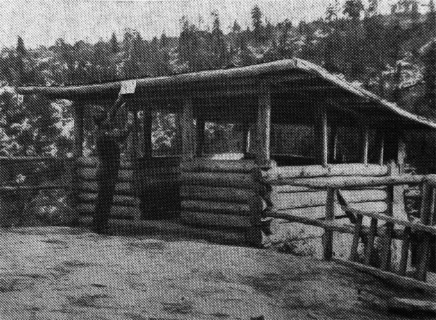
 A log dining facility was a part of the military police picnic grounds. It was called ‘Eagles Nest’. Picture from the Los Times Newspaper, Jan. 3, 1947. Courtesy photo
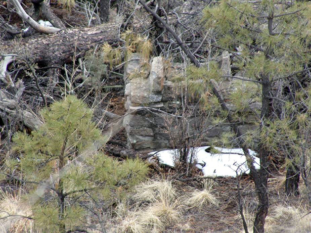 A stone fire place still can be seen at the picnic grounds, decades later. Courtesy photo
By ROBERT DRYJA
Los Alamos
What was it like to live in the Manhattan Project during World War II and the years immediately afterwards? What was it like to know you were helping to create a whole new way to have war with the atom bomb? To quote Oppenheimer, “Now I Am Become Death, the Destroyer of Worlds”. People could not come into the laboratory without permission at the entry gate. They also could not leave without permission. Workers and their families faced significant stress.
At the same time the community was in a remarkable natural setting. Parallel canyons cut the Pajarito plateau in mesas. Dramatic views were created by the vertical canyon walls. The canyon bottoms had forests growing in them. People therefore could reduce their stress by going to see this natural world. But where did they go specifically and what did they do there? Small historic clues exist.
Los Alamos was a smaller town compared to today. Parts of today’s town were in the country. For example, a large parking lot is by the grocery store of today. It previously had been at the edge of town. A military police facility for holding prisoners was located there. A second example is Trinity Drive. It now is a four line highway with regular traffic congestion. It previously had been a dirt road leading to homesteads. Small canyons extended to the larger Los Alamos canyon adjacent to this dirt road.
These country locations now are part of the larger town of today. Small historic sites are located in them. The parking lot is adjacent to a canyon wall that has a shelf extending out from it part way down to the bottom. A picnic ground had existed on this shelf, thanks to the military police. The police had prisoners build a nearly vertical wooden staircase down to the shelf. Lines of small boulders, stone fire places, and a open sided log building were built. People then could go the picnic ground for a meal and enjoy dramatic views up and down the canyon.
The Girl Scouts had a wonderful setting for a camp at the bottom of a small canyon. This canyon is next to the four line highway. It was located about a mile from the original down town area. Two historic sites remain in it. A stone fire place is located in a level area near an intermittent stream. It is an easy walk from the fire place to the main stream at the bottom of the main canyon. A canyon wall is adjacent to an access trail and has parallel rows of holes in it. The holes are somewhat squarish and lead up to a cavete-like opening.
Perhaps the Girl Scouts made the holes in order to climb to the cavete-like opening. Alternatively the boys from the Ranch School may have made them. Either way, young people from the Ranch School and Manhattan Project eras had a remarkable setting in which to camp and explore.
Bathtub Row is the large urban historic site for the Ranch School and laboratory from World War II. Hundreds of people visit it every year. However, how many people realize there are other small sites in natural settings that give a hint of how people lived from day to day?
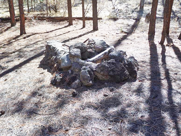 A stone fire place also remains at the Girl Scout camp. Courtesy photo
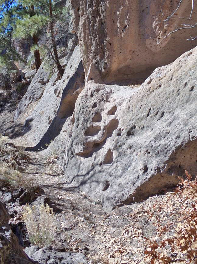 A parallel set of holes along side a trail lead up to a cavate-like opening. Courtesy photo