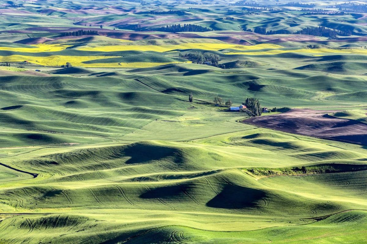
 The Palouse: A single farmhouse and barns stand surrounded by the unique and beautiful Palouse landscape. The brownish areas are the only areas not planted in this photo. The green crops are almost all wheat while the bright yellow fields are canola. Canola blooms have bright yellow blooms and the seeds in the blooms are used to make canola oil. Photo by Gary Warren/ladailypost.com
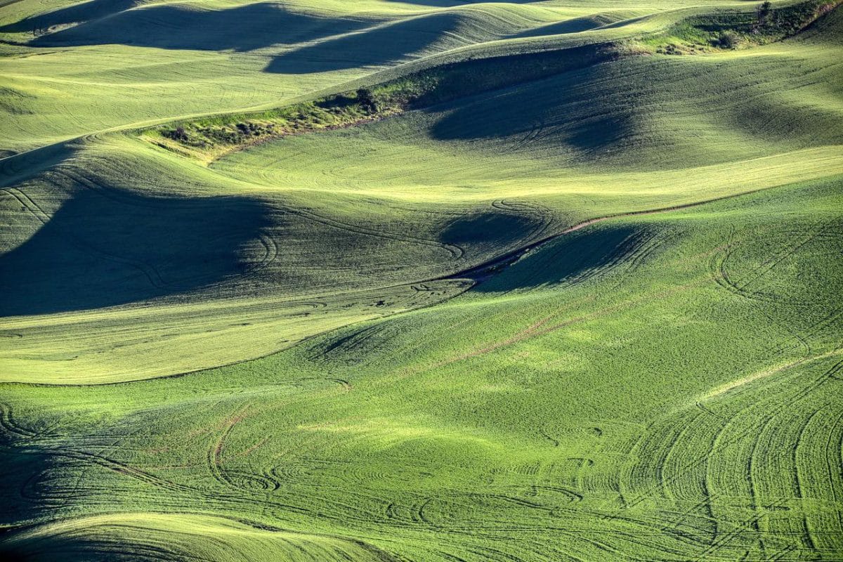 Up Close: A long telephoto lens brings the view up close. This view of the wheat crops create an abstract view of the landscape. Almost every foot of the Palouse has a crop planted on it unless the slope is too steep as seen in a small portion near the top of this image. Photo by Gary Warren/ladailypost.com
By GARY WARREN
Photographer
Formerly of Los Alamos
Being a RV traveler and a photographer, I have numerous “bucket list” sites and places that I want to travel to, see, and photograph. It is always a joy to travel around our beautiful country with a camera in search for the next favorite photograph.
We are traveling around western Montana, eastern Washington, and eastern Oregon on our current journey and the sites have been spectacular. I was able to check off one of those “bucket list” items this week in Washington when we spent a few days in the Palouse region of the state.
I have been wanting to photograph the Palouse for years, but this is our first time to venture into Washington in our RV. I didn’t realize that in addition to photographing the Palouse area, I really wanted to see the area from Steptoe Butte, which gives visitors an aerial view and perspective of the beautiful countryside. The views from the butte are fabulous!
Steptoe Butte State Park occupies 150 acres at the top of Steptoe Butte, which rises to an elevation of 3,612 feet in the center of Palouse country. More than 400 acres of land surrounding the state park property has been privately owned but was deeded to the state of Washington in 2021. This ensures the butte will be open for future generations to visit while in the Palouse.
The Palouse is a large region in southeast Washington, western Idaho, and northeast Oregon that is known for its unique landscape and agriculture production. The main crop is wheat, but other crops include canola, peas, lentils and garbanzos. The Palouse landscape is fertile ground formed in rolling hills for miles and miles. The region covers several counties, but the heart of the Palouse lies in Whitman County in southeast Washington.
We drove to the top of Steptoe Butte late in the afternoon and admired the beautiful sites in every direction. The butte is in Whitman County and offers views of the crop land from a unique perspective. Whitman County is the number one wheat producing county in the entire country which is easy to believe when you look across thousands of acres of wheat crops.
As the late afternoon sun began to lower itself, the lightshow really began to happen. I was thrilled to have spent this time photographing the crops of the Palouse from this unique location. Another check on the “bucket list”!
All of the photos in this post were taken from the Steptoe Butte State Park which occupies the top of the butte. Visitors can see for miles in every direction while on the butte making it a popular location to see and photograph this special landscape.
Editor’s note: Longtime Los Alamos photographer Gary Warren and his wife Marilyn are traveling around the country, and he shares his photographs, which appear in the “Posts from the Road” series published in the Sunday edition of the Los Alamos Daily Post.
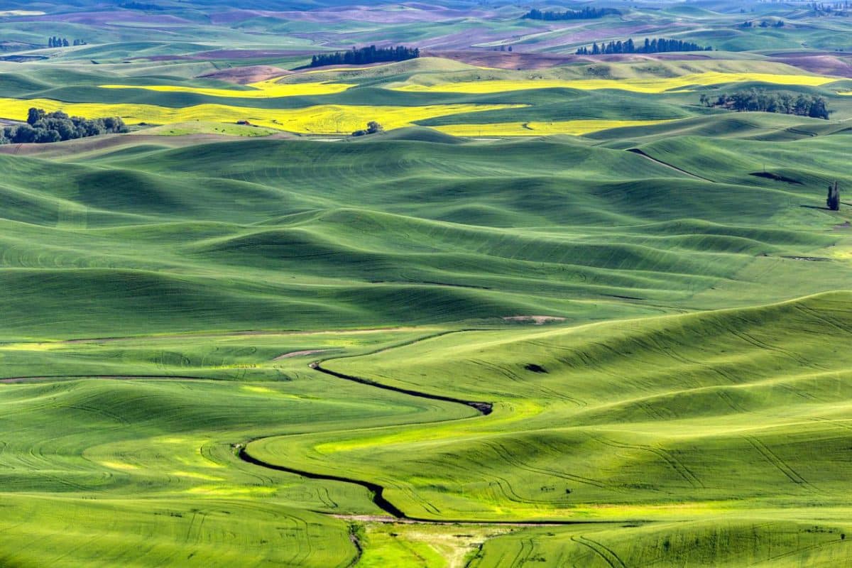 Light Show: The late afternoon light really puts on a light show as it skims across the landscape. The rolling hills landscape of the Palouse is similar to the landscape in Tuscany, Italy as the crops are planted across the slopes. Photo by Gary Warren/ladailypost.com
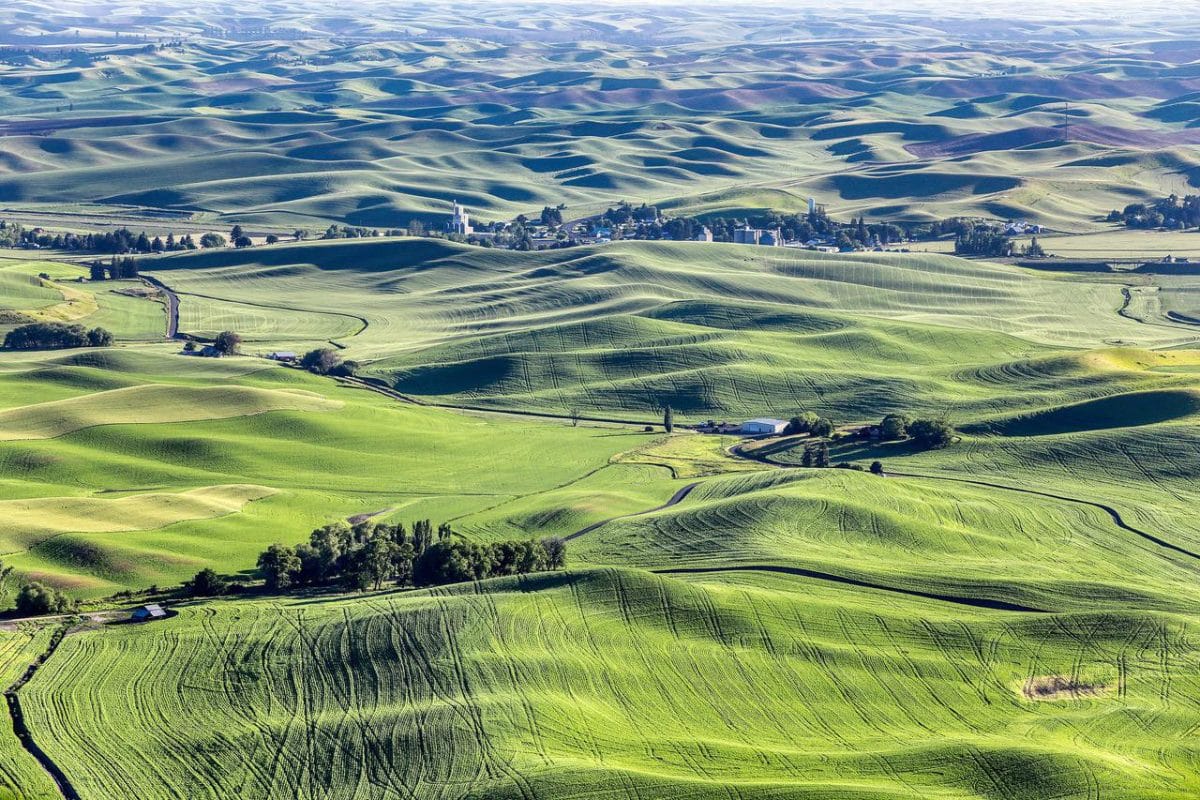 Steptoe, Wash.: The tiny town of Steptoe, Wash., can be seen from Steptoe Butte State Park a few miles away. The top of the butte is 3,612 feet in elevation, which is more than 2,000 feet higher than the average valley floor elevation. The largest town in Whitman County and the Palouse is Pullman, Wash. just a few miles south of Steptoe. Photo by Gary Warren/ladailypost.com
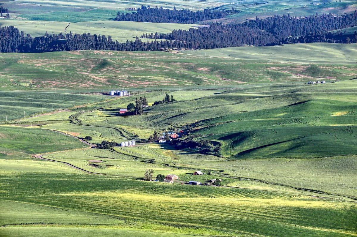 Farmhouses: Several farmhouses and barns are seen in this view from Steptoe Butte. The crops are planted right up to the roadsides throughout the region. Photo by Gary Warren/ladailypost.com
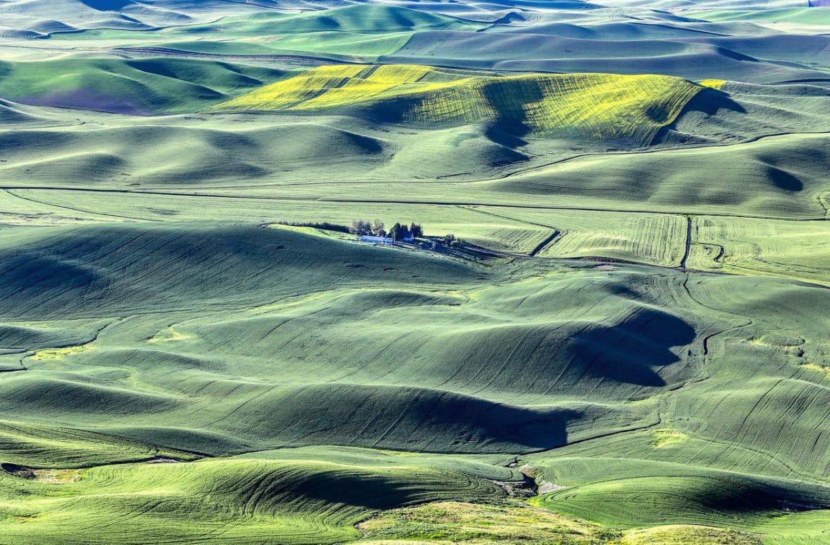 Wheat and Canola: Wheat and canola crops surround this farmhouse and barn in the Palouse. The unique, gently rolling hills create a picturesque landscape as viewed from atop Steptoe Butte. Photo by Gary Warren/ladailypost.com
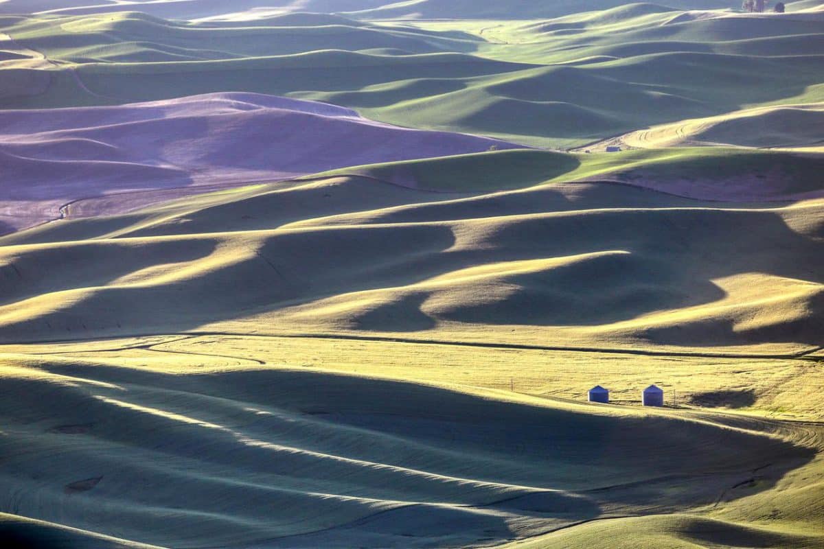 Late Light: As the time for sunset nears, colors of the Palouse landscape begin to adjust to the lower golden light and the increased shadows. The long shadows at days end and the light skimming across the ridges become more dramatic as the sun begins to set. Photo by Gary Warren/ladailypost.com