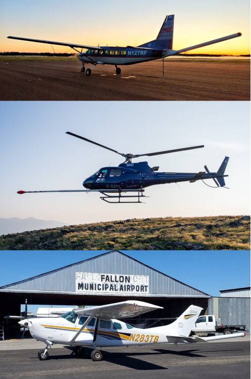
 The Cessna 208 Grand Caravan aircraft, Eurocopter AStar-350 B3e helicopter, and Cessna Turbo 206 aircraft used by NV5, Precision GeoSurveys, and Edcon-PRJ, respectively, for surveying. Courtesy/photo
USGS News:
RESTON — The U.S. Geological Survey plans low-level flights by airplane and helicopter over southern and central New Mexico to image geology using airborne geophysical technology. The survey will begin this month and will continue through the fall, weather and wildfire restrictions permitting.
The flights are a collaborative effort between the USGS Earth Mapping Resources Read More






 By REBECCA RUTHERFORD